AR
PORTFOLIO
Loading Experience...
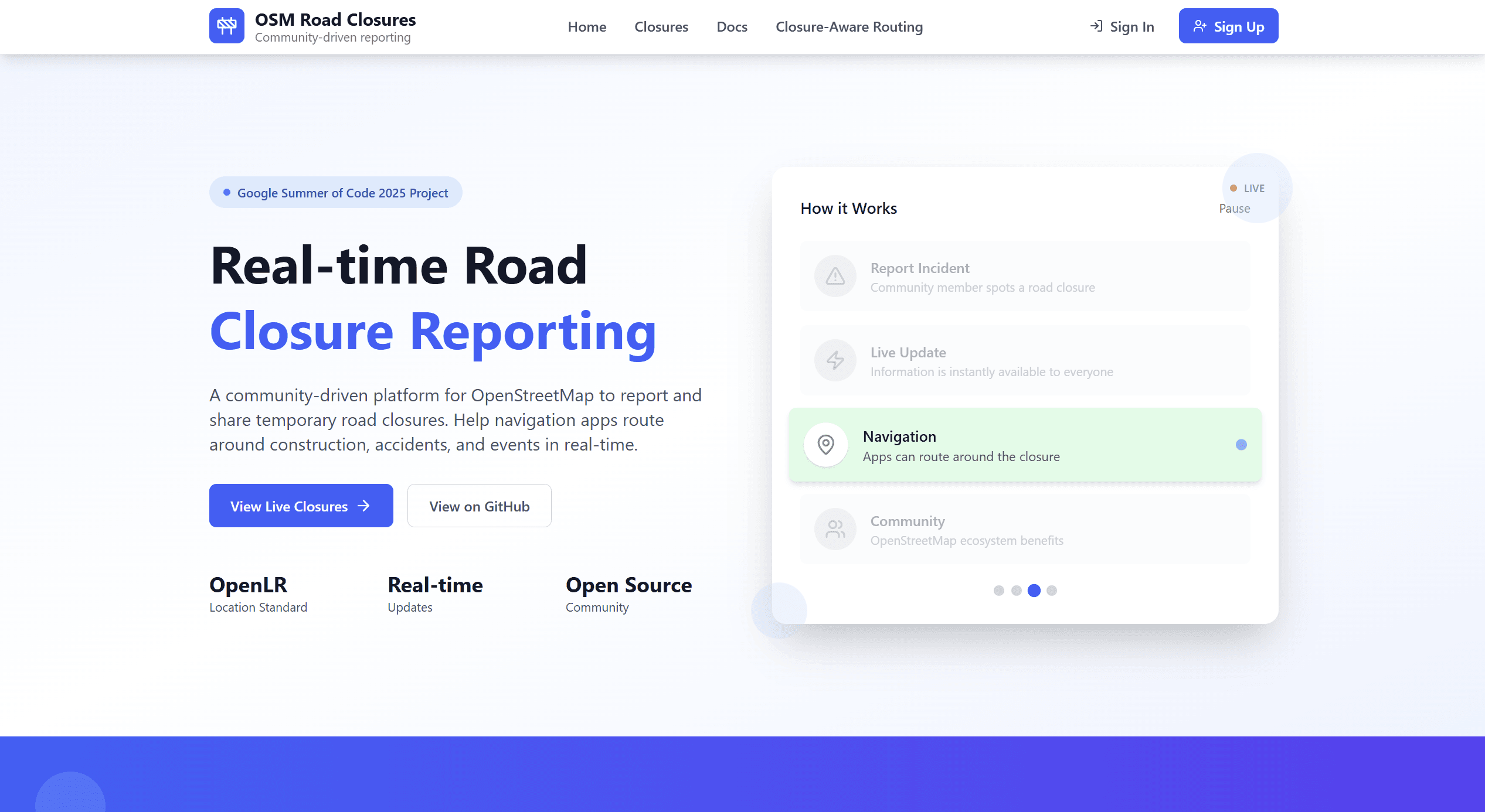
OSM Temporary Road Closures Database and API
Project Overview
Temporary Road Closures is a full-stack, AGPL-licensed platform built during Google Summer of Code 2025 for the OpenStreetMap Foundation. Community users can submit closures via a responsive Next.js/Leaflet interface, while a FastAPI service backed by PostgreSQL + PostGIS validates, stores, and serves geospatial data. The system encodes locations with OpenLR to remain map-provider-agnostic and exposes a documented REST API for third-party integration. A Valhalla integration powers closure-aware routing across auto, bicycle, and pedestrian modes, with side-by-side route comparisons. Security and reliability are addressed with OAuth2/JWT auth, rate limiting, CORS, and containerized deployment (Docker, Nginx). The result is a scalable, standards-compliant foundation for real-time navigation intelligence in the OSM ecosystem.
Key Features
- Responsive UI
- Geospatial Data Handling
- Closure-Aware Routing
- OAuth2/JWT Authentication
- Rate Limiting
- Containerized Deployment
Other Projects

Keya AI - Agentic AI Assistant for Real Estate
Keya AI is an advanced AI assistant designed to streamline the real estate process for both agents a...
Optimal Congestion Zone Analysis
Optimal Congestion Zone Analysis is a computational urban analytics framework developed at the Unive...

RealEstate 360
RealEstate360, the future of online house-hunting, is a platform that leverages Augmented Reality (A...